Brookdale Park and Montclair NJ Neighborhoods Compared
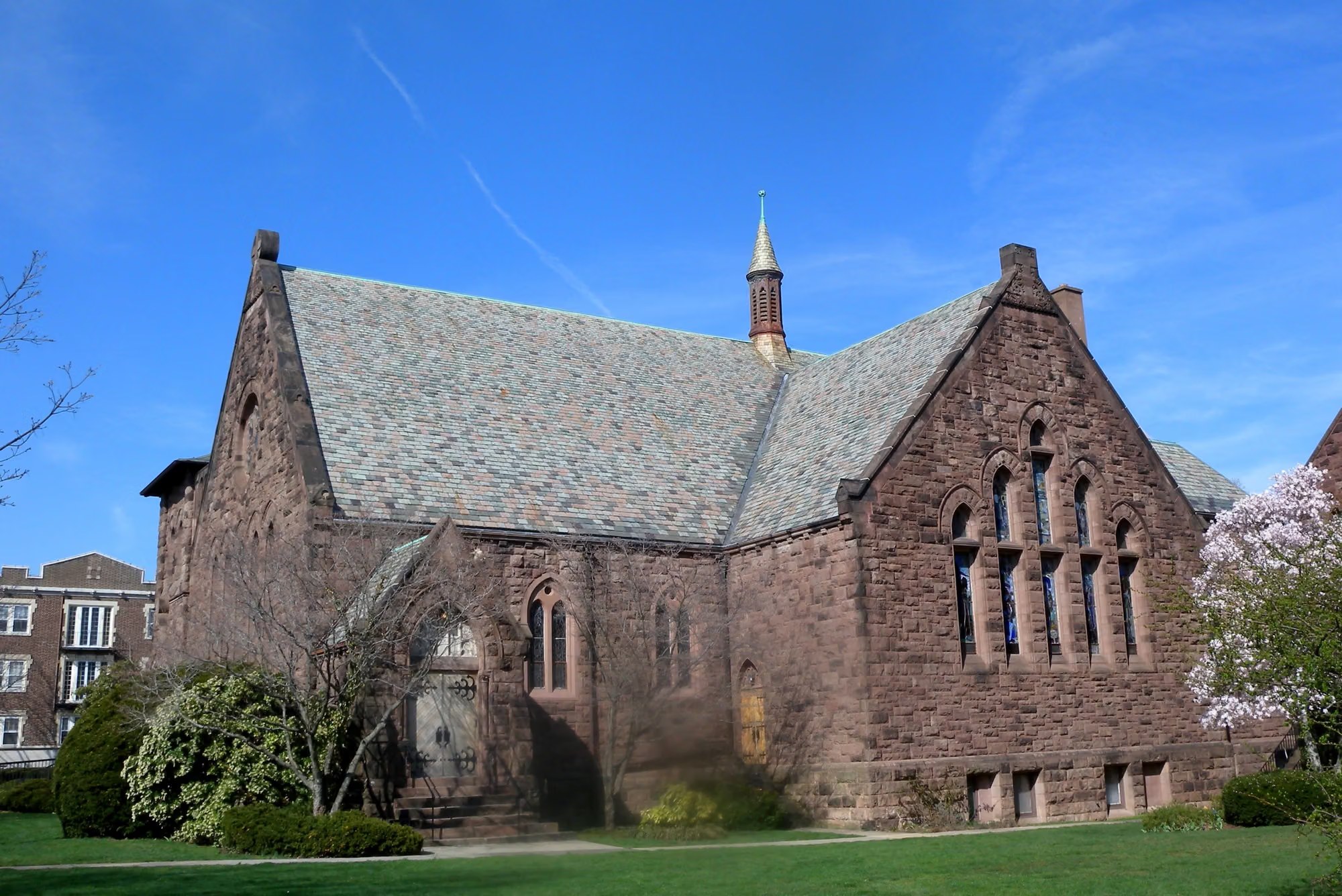
The neighborhoods in Montclair differ most in house style, lot size, and nearest train station, from the Tudor and Colonial Revival homes on large lots in the Estate Area to the two- and three-story houses with big front porches in Upper Montclair. What sets Montclair apart is that it has six business districts instead of a single main street, among them Montclair Center, Upper Montclair, Watchung Plaza, and Frog Hollow.
Quick Facts
- Montclair neighborhood names such as Uptown, the South End, and the Estate Section have no official boundaries. The township's four wards are its official voting districts.
- Brookdale Park has 43 acres in Montclair and 78 in Bloomfield, and it is the third-largest park in the Essex County park system.
- Redfin reports a $1,396,943 median sale price for single-family homes in Montclair for July to September 2026.
- Additions and exterior alterations in Montclair's four local historic districts (Pine Street, Town Center, Upper Montclair Business, and Watchung Plaza) require a Certificate of Appropriateness.
How the neighborhoods in Montclair are named and mapped
Most Montclair neighborhood names are informal. Uptown, the South End, and the Estate Section have no official boundary, and the township's four wards, used for voting, are its only official districts. The ward map does label some areas by name, including Watchung Park, Hawk Watch, Mountainside, and Watchung Plaza.
Upper Montclair has a firmer outline. It's a Census Designated Place within Montclair Township, with its own ZIP code, 07043, and it covers 40.2% of the township's area. That separate postal address is part of why even residents sometimes take it for its own municipality. It's part of Montclair, which spans about 6.2 square miles on the east side of the First Mountain of the Watchung Mountains, a setting the Montclair neighborhood guide covers in more depth.
Because the names are informal, sale data is reported for Montclair overall. Redfin's July to September 2026 sales put the median sale price at $1,396,943 for single-family homes and $379,961 for condos. Zillow's September 2026 estimates put the typical single-family home value at $1,290,454 and the typical condo value at $448,324; Redfin counts closed sales, while Zillow estimates the value of every home. For Upper Montclair on its own, the Census Bureau's 2020 to 2024 survey puts the median value of owner-occupied homes at $989,000, a five-year survey figure rather than a recent sale price.
The Estate Area in southwest Montclair
The Estate Area, generally in the southwest corner of Montclair, is where you'll find early 20th-century houses on large lots with substantial setbacks. The township's district nomination describes it as a turn-of-the-20th-century suburban residential neighborhood with a recommended period of significance of 1885 to 1945.
Houses here run one to three stories. Most are Tudor, Georgian, or Colonial Revival, with some Queen Anne, Shingle, and Craftsman homes among them. The survey boundary reaches Hoburg Place on the north, Crest Drive on the west, Briar Hill and Stonebridge Roads on the south, and Stonebridge Road and Eagle Rock Way on the east, with Melrose Place to the northeast.
The Estate Area is a proposed historic district of approximately 283 acres. It is not one of the four locally designated districts, where Certificate of Appropriateness review applies. Weighing a Tudor here against something newer is the subject of an earlier comparison of Montclair's historic and newer homes.
The Mountain District along Upper Mountain Avenue
The Mountain District takes in both sides of Upper Mountain Avenue between Bradford and Claremont Avenues, with extensions onto parts of Highland Avenue, Prospect Avenue, Edgewood Terrace, and North Mountain Avenue. The Mountain Historic District counts 174 mansions built between 1870 and 1934.
Lots are not uniform here. Along the western boundary between Bradford Avenue and Edgewood Road, lots are smaller and the terrain is steeper. In the R-O Mountainside zone, lots must be at least 100 feet wide at the street line, or 150 feet where the zoning map sets that width.
Mountainside Park, also on Upper Mountain Avenue, covers 33.19 acres with tennis courts, a nature trail, a swimming pool, a playground, and the Iris Gardens.
Upper Montclair, the North End, and Brookdale Park
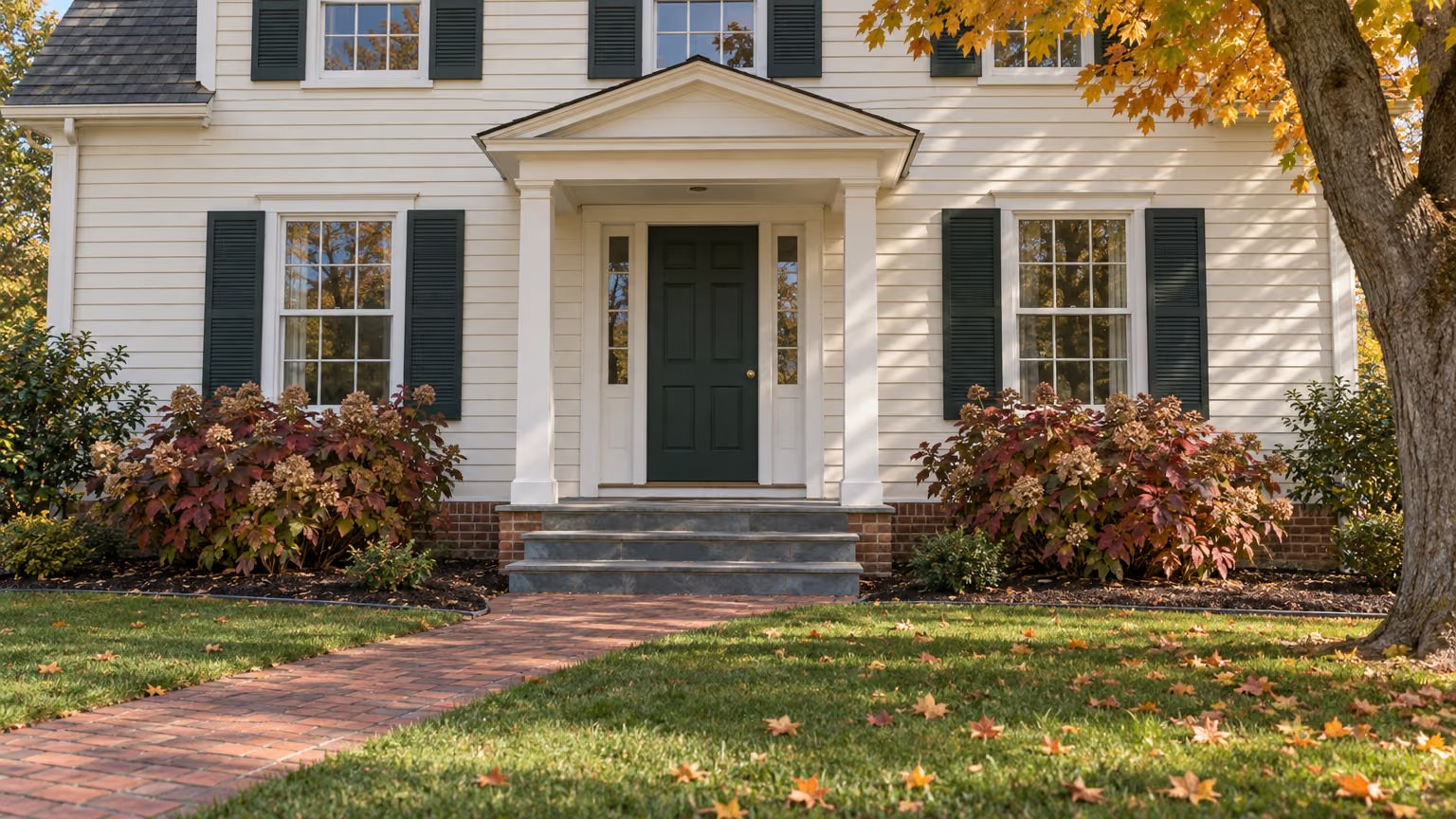
Upper Montclair pairs single-family streets with a historic shopping district. In what's known as the Upper Montclair Commuter Area, houses are two to three stories, with large front porches, on medium-sized lots.
The Upper Montclair business district has 93 structures in Colonial Revival, Queen Anne, and Neo-Classical styles, plus two-story Tudor Revival commercial buildings on Valley Road and Bellevue Avenue. Most buildings are one or two stories, with shops at street level and offices or apartments above. Anderson Park, a county park, is just south of the Upper Montclair station and west of the business district, and Edgemont Park on Valley Road adds 15.5 acres with two softball diamonds, a pond, and a playground.
Brookdale Park in Montclair, NJ, is shared with Bloomfield: 43 of its 121 acres are in Montclair and 78 are in Bloomfield. Essex County's park listing has it bordered by Watchung Avenue, Grove Street, and Bellevue Avenue. Ward 1, which covers Upper Montclair and the North End roughly north of Watchung Avenue, has its boundary running through the park's northwestern edge.
As the third-largest park in the Essex County system, Brookdale has a dog park with separate fenced areas for large and small dogs, a playground, picnic areas, soccer and football fields, a walking track, tennis courts, and an archery range. The Essex County Rose Garden there dates to 1959, and a segment of the 36-mile Lenape Trail, which links 18 parks in 11 municipalities, runs through it.
Montclair Center, Pine Street, Frog Hollow, and Marlboro Park
Montclair Center is the downtown district, centered on Bloomfield Avenue, South Fullerton Avenue, Glenridge Avenue, and Church Street. Its business improvement district, founded in 2002, represents more than 400 retailers and restaurants, and the district is a Nationally Accredited Main Street Community. Buyers drawn to that setting can find more in an earlier look at living near Montclair's shops.
The Pine Street Historic District, one of the four local districts, has 77 structures, mostly two to three stories, built from the 1880s to the 1930s. It mixes single-family houses, multifamily dwellings, and small commercial buildings in Renaissance Revival, Italianate, Classical Revival, and Bungalow-Craftsman styles.
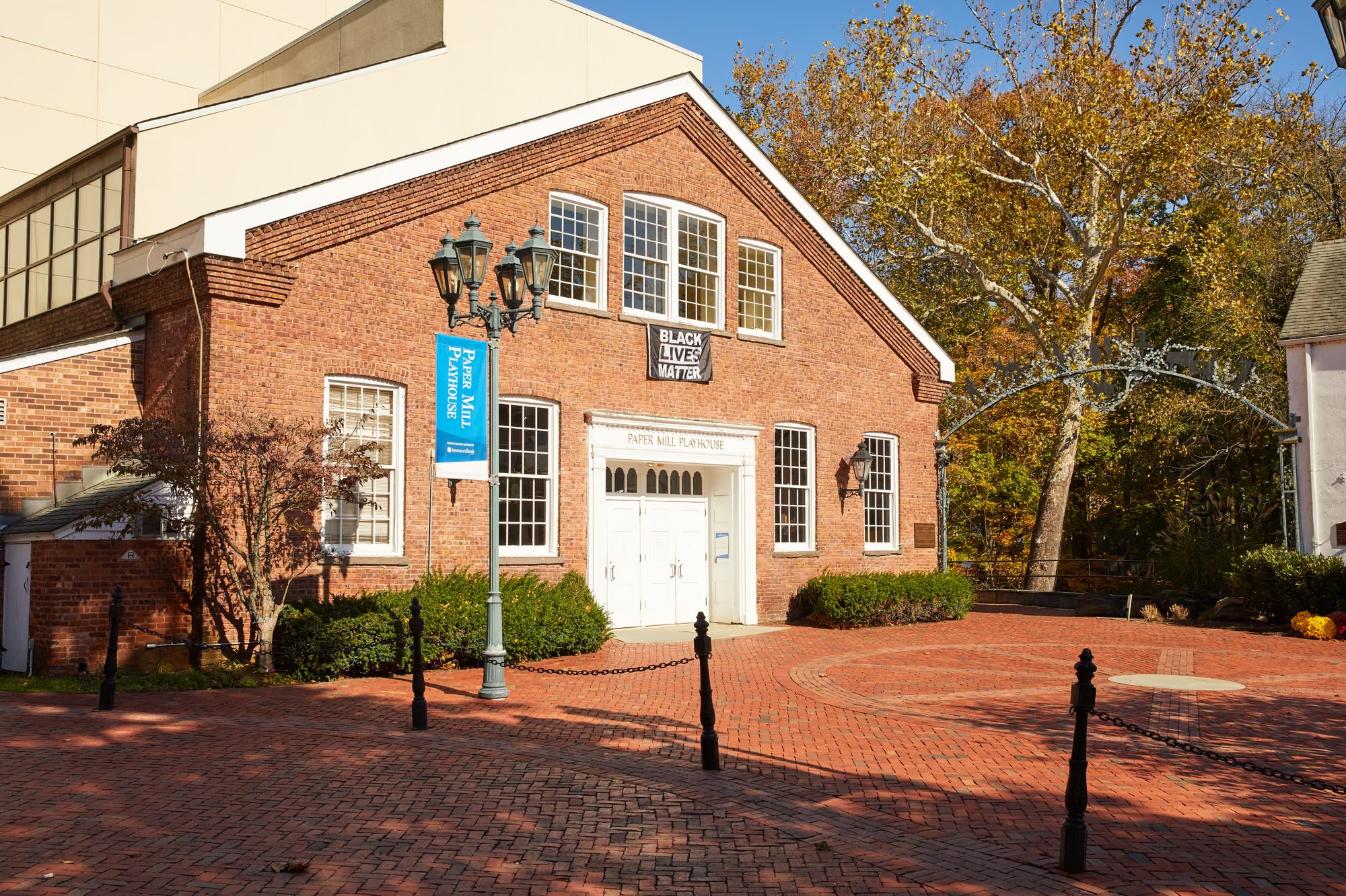
Frog Hollow is a cluster of small vernacular houses on William, Dey, and Talbot Streets, east of Valley Road between James and Walnut Streets. In Marlboro Park, around Fairfield Street, Watchung Avenue, and Montclair Avenue, houses show Tudor and Craftsman influences alongside Dutch Colonial and Georgian Colonial designs.
Township-wide, single-family detached homes make up 49% of occupied housing. In the R-3 Garden Group zone, new one- and two-family homes need at least 60 feet of frontage and 6,000 square feet of lot.
Which train station serves each part of Montclair?
The closest station depends on the neighborhood, because the Montclair-Boonton Line stops repeatedly as it crosses the township. Heading toward New York, the order is Montclair State University, Montclair Heights, Mountain Avenue, Upper Montclair, Watchung Avenue, Walnut Street, and Bay Street, then Glen Ridge, Bloomfield, Watsessing Avenue, Newark Broad Street, Secaucus Junction, and New York Penn Station.
Upper Montclair station is on Bellevue Avenue directly north of Anderson Park. Watchung Avenue station has its inbound side on Park Street and its outbound side at Watchung Plaza. Walnut Street station is at Depot Square, Montclair Heights station is at the Normal Avenue grade crossing, and Montclair State University station, the line's northern end within the township, has parking, as the library's transportation resources page notes. Bay Street station is on Glenridge Avenue, one of the streets Montclair Center is built around, with a 248-space parking garage and high-level platforms.
On weekdays the line runs to both Hoboken and New York Penn Station. On weekends and holidays, trains run between Bay Street and Hoboken, and riders bound for New York transfer at Newark Broad Street.
By car, Midtown Manhattan is about 19 miles away, typically 40 to 50 minutes depending on traffic. Newark Penn Station is about 10 miles off, or 20 to 25 minutes, and Newark Liberty airport is about 15 miles, or 25 to 30 minutes.
How do historic districts and zoning affect renovations?
Owners need a Certificate of Appropriateness from the Historic Preservation Commission to change a local landmark or a property in one of Montclair's four local historic districts: Pine Street, Town Center, Upper Montclair Business, and Watchung Plaza. The certificate requirement covers additions, exterior alterations, relocation, demolition, new construction, and exterior signage and lighting.
Exact repair or replacement that leaves the exterior looking the same doesn't need a certificate. Applications go to the Department of Planning & Community Development, and when a project also needs Planning or Zoning Board approval, the commission advises that board instead of issuing a separate certificate. The township's Historic Inventory Viewer maps local districts and landmarks, so you can check a specific address. New districts are created by Township Council ordinance after recommendations from the commission and the Planning Board.
Zoning sets lot minimums and how much of a lot can be built on, and Montclair's Interactive Zoning Map shows every zone with links to the code. Minimum lot widths in the R-O, R-O(a), R-1, and R-2 zones follow the township zoning map dated August 1, 2017. The R-O(a) zone requires lots at least 100 feet deep, and the R-1 zone caps building coverage at 25%. Maximum impervious coverage is 55% on lots under 10,000 square feet and 35% on lots over 25,000 square feet.
Checking a house's zone and district status early in the search shows which additions are realistic, and it belongs alongside the other early steps of buying a home in Montclair.
Frequently Asked Questions
What is considered Upper Montclair?
Upper Montclair is a Census Designated Place inside Montclair Township, not a separate municipality. It has its own ZIP code, 07043, and covers 40.2% of the township's area. For voting, Ward 1 covers Upper Montclair and the North End, roughly north of Watchung Avenue.
Is the Estate Area in Montclair a historic district?
The Estate Area is a proposed historic district, not one of Montclair's four locally designated districts. It covers approximately 283 acres in the southwest corner of the township, and most of its houses are Tudor, Georgian, or Colonial Revival. A district becomes official through a Township Council ordinance after recommendations from the Historic Preservation Commission and the Planning Board.
How much of Brookdale Park is in Montclair, NJ?
Brookdale Park has 43 acres in Montclair and 78 in Bloomfield, for 121 acres in all. It's bordered by Watchung Avenue, Grove Street, and Bellevue Avenue, and it is the third-largest park in the Essex County system.
Can you take the train from Montclair to New York on weekends?
Weekend trains from Montclair reach New York with a transfer at Newark Broad Street. On weekends and holidays, the Montclair-Boonton Line runs between Bay Street and Hoboken. On weekdays, trains run to both Hoboken and New York Penn Station.
Does every exterior repair in a Montclair historic district need approval?
No, exact repair or replacement that doesn't change a Montclair property's exterior appearance doesn't require a Certificate of Appropriateness. Additions, exterior alterations, relocation, demolition, and new construction on a local landmark or in a local historic district do need one from the Historic Preservation Commission. Applications are filed with the Department of Planning & Community Development.
Picking a Montclair neighborhood means weighing architecture and lot size against your route to a train and a shopping street. Watchung Plaza shows how those pieces meet in one spot: it's a business district, a local historic district, and the outbound side of the Watchung Avenue station. Allison Ziefert Real Estate Group can compare specific houses on streets like these with you, drawing on Allison Ziefert's background in construction management, historic preservation, and planning.